
Geomorphological analysis on the Po river with drone and sensors transported on a kayak
12.04.2023
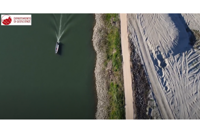
A team of researchers from the Department of Geosciences of the University of Padua recently went near to the city of Cremona to analyze the conditions of a secondary channel of Po River, from a geomorphological point of view.
This channel is partially disconnected from the main one by the presence of a longitudinal structure, a sort of artificial levee built in the 1940s for navigation purposes. Therefore, the secondary channel receives a little amount of water and sediment. Currently AIPO (the Interregional Agency for the Po River) and the Basin Authority have been carrying out an experimental intervention of renaturation of the river and in this locality, by lowering the artificial structure that separates the main channel of the Po from this secondary channel.
The goal of the researchers was to analyze the situation before the intervention, from a morphological point of view, taking into account also the processes, and therefore to verify what will be the responses of the system following this intervention of lowering of the levee that separates the main channel from the secondary one.
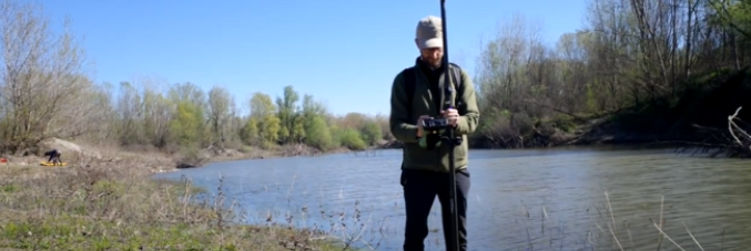
During the day topographic surveys performed with the drone have also been accompanied by hydroacoustic survey techniques with a sensor mounted on a Hydro-board platform dragged through a kayak. In the video Andrea Brenna, Giacomo Vinci and Alvise Finotello, researchers from the Department of Geosciences of the University of Padua, explain the activities.
Aerial footage with the drone by Stefano Castelli
Video editing by Barbara Paknazar
 |