Artificial Intelligence in geohazards and risk analysis

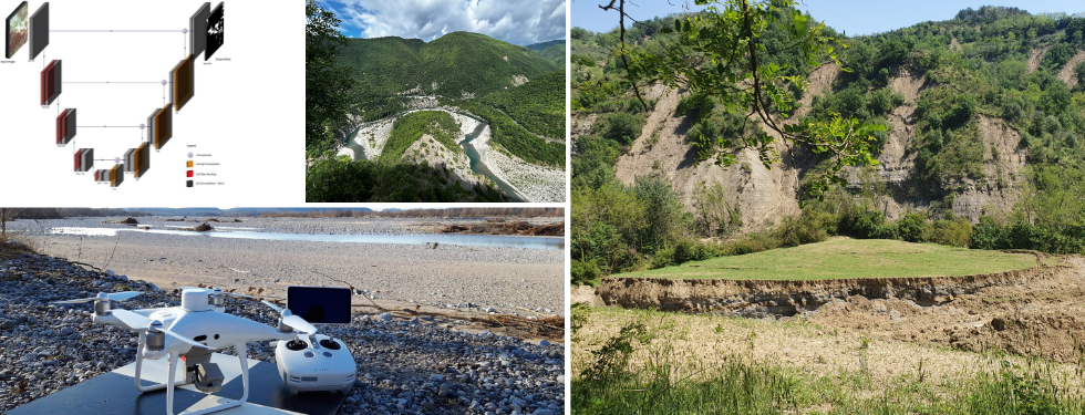
The research group's core interests include the use of machine learning and deep learning technologies for all aspects of georisk management, from data mining to hazard assessment, forecasting and resilience estimation. The group is a worldwide pioneer in the field of big data analysis using AI tools for geohazard studies, with primary subjects including massive optical and SAR remote sensing data processing, geographic object-based image analysis (GeOBIA), modeling of geohazards at different scales, early warning system setup, and risk mitigation measures design.
Among the research activities, the group is also focused on the development of new AI-based tools for data interpretation, hazard assessment and forecasting and risk reduction. The group has permanent collaborations with foreign high-level research institutions and leads the Machine Intelligence and Slope Stability lab and the GIS & Remote Sensing lab.
Professors coordinating and developing projects related to this research pathway: Simone Bizzi, Filippo Catani, Xue Che, Francesca da Porto, Marco Donà, Mario Floris, Antonio Galgaro, Ascanio Rosi


