Presentation of MapFly
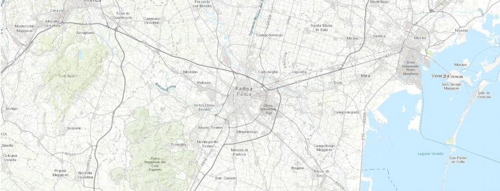
Mapfly portal is online! Mapfly is a webGIS catalog that allows you to search on a geographic basis 30,000 geothematic and historical maps held by the University of Padua, retrieve the copy in the library, or view and download the reproduction when copyright permits
The MapFly project was developed in 2021 as a collaboration of the following departments of the University of Padova, thanks also to funding by Infrastrutture Immateriali di Ricerca Bando 2019: Dipartimento di Geoscienze, Dipartimento di Scienze Storiche Geografiche e dell’Antichità, Dipartimento di Ingegneria Civile Edile e Ambientale, Dipartimento dei Beni Culturali, Centro d’Ateneo per le Biblioteche.
For more information on the MapFly project
Presentation of MapFly which will be held on Thursday December 16th, 2021 at 4:30 p.m.
- at the Geosciences Library of the Department of Geosciences, University of Padova, via Gradenigo 6 (participation in the library is subject to availability until capacity is reached and to respect to protocols and guidelines regarding the containment of Covid-19)
to book write to: biblio.geoscienze@unipd.it
- online with Zoom: https://unipd.link/obw